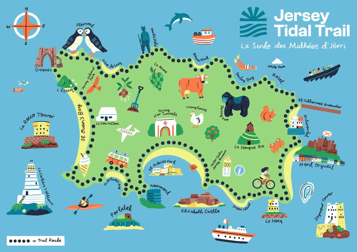
JErSEY TIDAL TRAIL

A TINY ISLAND WITH big adventures
The Jersey Tidal Trail — promoted by Visit Jersey — is a 48-mile coastal route that circles the entire island, shaped by some of the largest tidal ranges in the world. The trail links beaches, cliffs, bays and harbours, revealing how the sea transforms Jersey twice a day as the tide moves in and out.
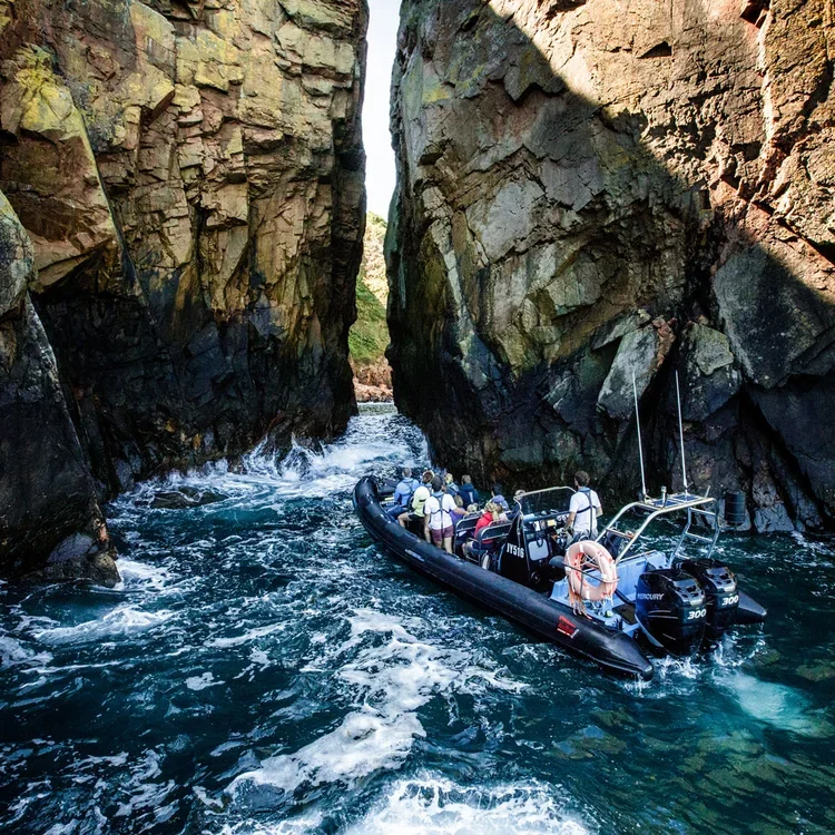
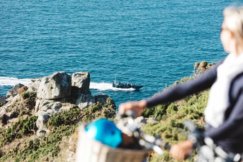
While many experience it on foot, seeing the Tidal Trail from the water with Jersey Seafaris offers a unique insight into the coastline that defines our tiny island.
JOIN US ON THE WATER!
Walking the Jersey Tidal Trail is rewarding — but joining Jersey Seafaris gives you a front-row seat to Jersey’s coastline from the perspective that shaped it. From the water, the island’s highlights reveal themselves naturally, without worrying about tides, cliffs or detours.
North Coast Seafari highlights include:
🌊 Devil’s Hole caves carved deep into the north coast
⚓ Quaint fishing harbours like Rozel and Bouley Bay & Bonne Nuit
🏰 Napoleonic forts standing guard over the island
🪖 Location of a WWII commando raid
🎬 Recognisable Bergerac filming spots
All the drama, history and scenery of the Tidal Trail — seen exactly as it was meant to be: from the sea.